

LAND SURVEYING
KNOW OUR SURVEYING SERVICES
PROFFESIONAL EXPERIENCE
Land Surveying
DuSouth serves the southeast area with professional surveying services for both commercial and residential needs. We know the local requirements for any residential area, and our experience will help ensure that your survey documents will be accurate and timely.
At DuSouth, we prepare and maintain sketches, maps, and reports of legal descriptions. We also verify data and the calculations behind them, then record those results. Calculating the measurements of a site correctly takes precision and experience to recognize the intricate details of the piece of property. Researching legal documentation and verifying survey records is also a part of what we accomplish each day. Below are a few of the residential services offered:

Surveying Services

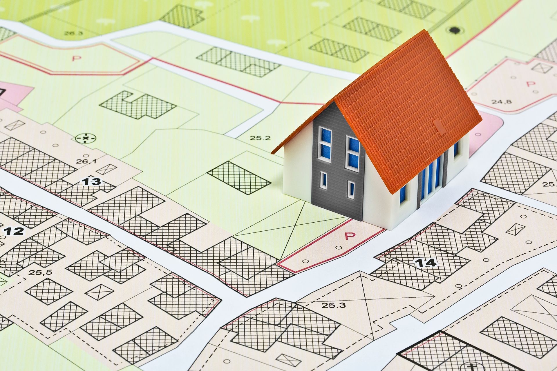
Boundary Surveys
A Georgia Minimum standard (also called a “boundary survey”) is the most common type of survey, and most notably used in mortgages and home loans. A surveyor will draw a plat (or scale drawing) which shows property lines, distances along these lines, bearings, and acreage. The drawings will include any property improvements that may exist, such as buildings, hardscaping, fences, pools, or permanent structures. The surveyor will also flag all corners and re-set any pins that are missing.
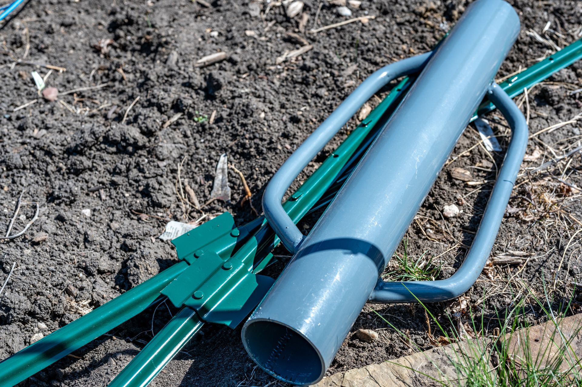
Property Line Staking and Corner Markers
Knowing exactly where your properly line is can be important and necessary many times for a home owner. Having the lines staked helps resolve simple things like lawn care and landscaping maintenance responsibilities and more complex things like additions, buildings, fences and trees. The number of stakes depends on how straight the property lines are and any interference like brush, trees, hills, or other naturally occurring barriers. Sometimes, with very straight property lines, you may chose to just mark the corners of the property lines which can save survey time and money.

Topographic Surveys (With Tree Locations)
Topographical surveys are used to map the elevation and rise and fall of physical features of a property. The topographical survey can be used to predict runoff, for engineering studies, landscaping or construction projects. These surveys will show structures, natural features, and everything that can affect the topography of the property. Trees with a 6 inch diameter are also marked and will include info such as hardwood or pine, and in specific instances, may even include the species of tree based on the local legislation.

As-Built Surveys
In order to obtain a Certificate of Occupancy, you will need an “as-built” survey on new construction projects once they are completed. This survey will verify that the work completed is in compliance with the plans that were originally approved. It will identify any improvements and structures and verify their location and topography.

Elevation Certification (FEMA)
In order to determine whether flood insurance is required on a property or not, you will need a residential elevation certification. This certification is created by identifying the property’s location on the Flood Insurance Rate Map (or FIRM), and performing a property survey to determine the elevation and topography of the home and property. Based on the data from the FIRM and the survey, the property owner will know if flood insurance is required or not based on 100 year flood locations.
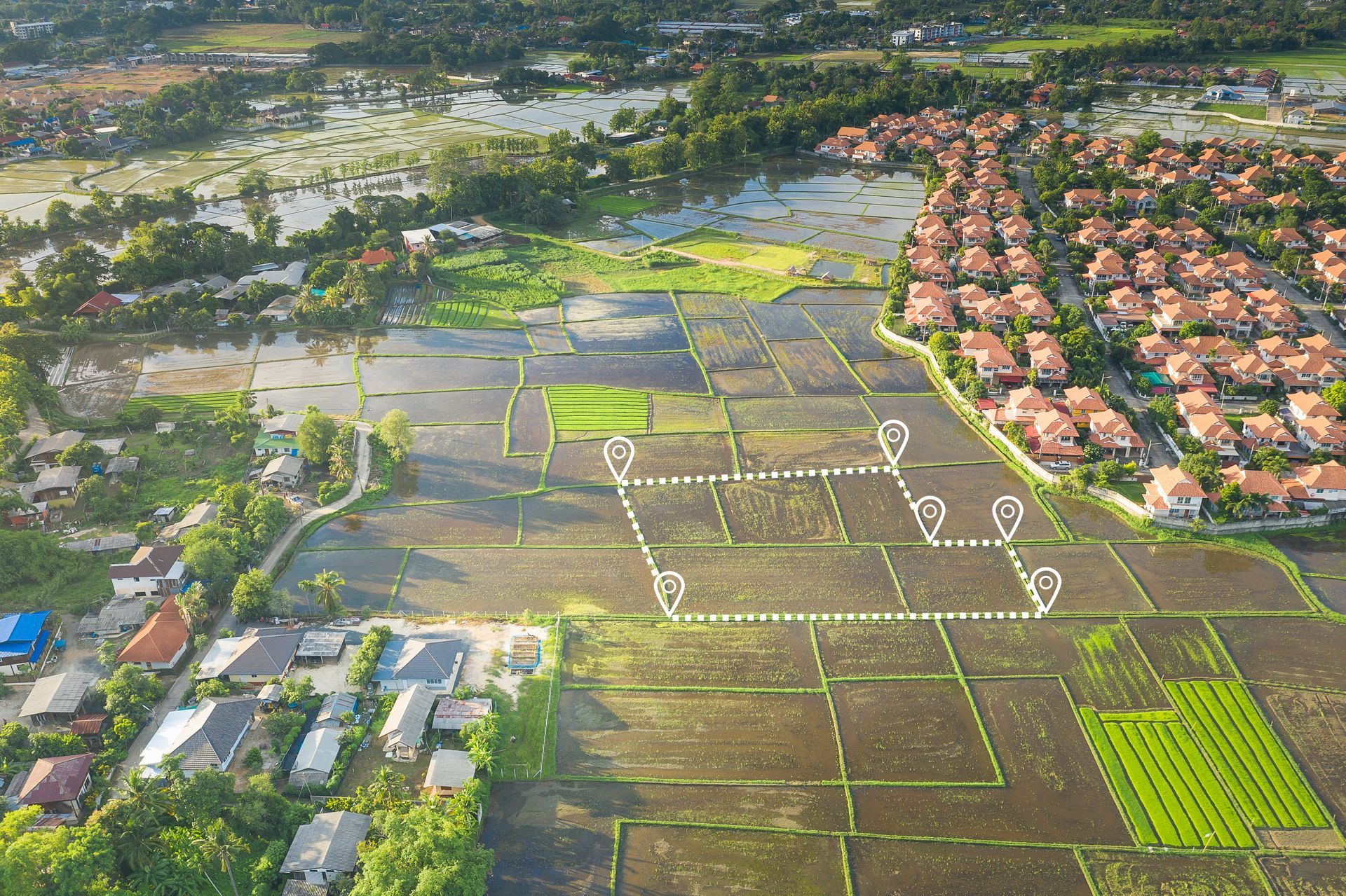
Lot Split Surveys
When a property owner decides to split a piece of property into two parcels, a lot split survey will be required. Lot split surveys are also called minor subdivision surveys. The new parcels will need to meet the zoning requirements, road frontage requirements, and square footage requirements or the split request will not be approved, so the lot split survey will be required to prove that zoning requirements are met.
Lot Consolidation Plats
DuSouth provides civil engineering consulting services to draft transportation plans for the Georgia Department of Transportation. Between traffic management, design and construction, civil engineers enhance road safety and travel.

Site Plan Survey
When in need of full construction planning, trust the civil engineers at DuSouth to provide quality consulting and assistance. From start-to-finish, our team assesses, designs and monitors construction projects to ensure safe, successful completion.
DuSouth is known for their expertise in civil engineering. Their vast knowledge and professional experience will ensure your project is in reliable and capable hands.